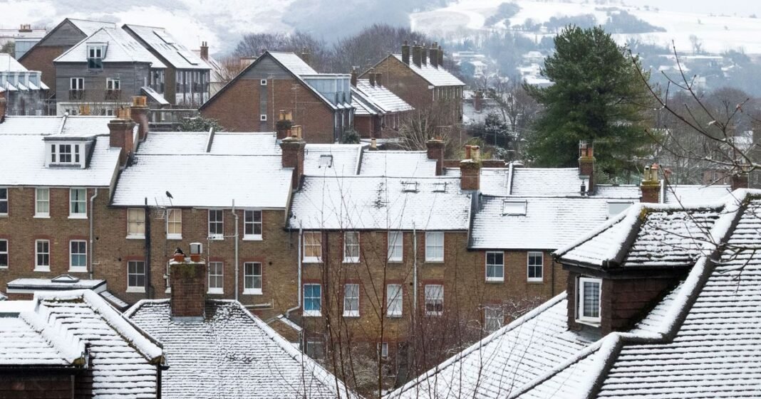
With colder weather approaching, parts of the UK are expected to see snowfall this weekend as the Autumn chill sets in. The mild October is coming to a close, and there may be significant snowfall as early as this weekend, with temperatures already dropping below 10C in some typically warmer regions.
Daytime lows have reached single figures in certain areas, notably in Scotland where temperatures hit 8C on Thursday. Snow is forecasted to arrive in Scotland by the end of the week, with scattered snowfall expected in northern parts of the country starting around 10pm on Friday night and continuing into early Saturday morning.
The Met Office suggests that while some snow may fall in northern Scotland over the weekend, other parts of the UK may not see any snow. Although no significant cold spell is anticipated, isolated wintry showers could occur towards the end of October in northern England, parts of the eastern coast, Wales, and Northern Ireland. The areas most likely to experience snow are Cairngorms National Park, Ross and Cromarty, Loch Lomond, and Trossachs National Park.
The Met Office’s weekend forecast indicates decreasing temperatures from Wednesday onwards. Showers are expected along the coasts, with sunny spells inland. Snow is particularly likely over high ground in Scotland, with lows of around -1C expected in the north Pennine areas and rural Scotland potentially reaching freezing temperatures of -7C by the weekend.
Looking ahead from October 25 to November 3, the Met Office forecasts a cold northerly flow with coastal showers and brighter spells inland. Showers may turn wintry over high ground in the far north. Conditions are predicted to become more changeable in the following week as a westerly pattern develops, bringing rain and stronger winds, especially in the north and west.
Temperatures are expected to be close to or slightly below normal for this time of year.
